Recently, in the direction of collecting spatial information, decisions have been dominated based primarily on space-based sounding and shooting from unmanned aerial vehicles. In 2016, together with the National Aviation University (NAU), the idea came up of organizing a platform for the exchange of information on aviation-based facilities to solve a wide range of tasks in creating geographic information systems. The first event was called GIS AeroUA: AIRCRAFT SYSTEMS AND GIS IN UKRAINE.
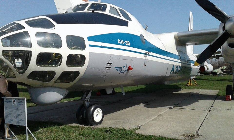
The venue was the National Aviation Museum, which is a structural unit of the NAU. The event was attended by leading scientific and commercial organizations. In fact, with the beginning of the era of photography and aeronautics, the Earth was surveyed. Naturally, the best were military successes. An excellent school of specialists and enterprises providing aerial photography was created in Ukraine. The development of digital technology allows you to create not only flat aerial photographs, but also to obtain three-dimensional images of objects.


created with
GIS AeroUA .